
Opportunity
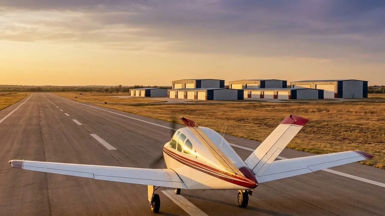
Hangar space, from people who fly.
A pilot-led hangar project at Georgetown Executive Airport, just north of Austin. Get to know the place we’re building and the region around our home field.
Georgetown
Georgetown Executive Airport (GTU), 600 Service Drive, Georgetown, Texas.
The project
Fifty private aircraft hangars in four buildings, on 7.3 acres.
Private bays
Individually divided hangars arranged in four diagonally staggered rows, each featuring bifold doors, electrical subpanels, LED lighting, and electrical outlets on every wall.
Our team
Led by Lisa and Dusty Halvorson, Army veterans, pilots and HDG’s founders.
Home field
Where Georgetown sits.
GTU is north of Austin, on the I-35 corridor that ties Dallas and Fort Worth to San Antonio. Houston is southeast of us, Waco is north, and College Station is east.
Straight-line miles from GTU
| AustinOur neighbor to the south, close enough to be a short hop. | about 25 mi |
|---|---|
| WacoNorth-northeast of Georgetown, along I-35. | about 65 mi |
| College StationEast of us, toward the Brazos Valley. | about 80 mi |
| San AntonioSouthwest of us, beyond Austin along I-35. | about 100 mi |
| Fort WorthJust west of Dallas on the same corridor. | about 145 mi |
| HoustonThe Houston metro area lies to our southeast. | about 150 mi |
| DallasNorth up the I-35 corridor, with Fort Worth beside it. | about 155 mi |
Approximate straight-line distances, rounded to the nearest five miles.
Approximate straight-line distances from Georgetown Executive Airport to Census representative city locations, rounded to the nearest five statute miles. Not driving distances, flight routes or a navigation chart. Map data: Natural Earth (opens in a new tab) boundary; U.S. Census Gazetteer (opens in a new tab) city points; airport position from AirNav (opens in a new tab); local context from the City of Georgetown (opens in a new tab).
Closer to home
Our place on the field.
The planned HDG hangars sit in the airport’s northeast area, east of the north end of Runway 18/36. The approved layout places Corsair Drive along the west side, Service Drive along the south and Airport Road along the east.
HDG project address
600 Service DriveGeorgetown, Texas
Use the project address for road directions, rather than the airport’s terminal address. The hangars shown here are planned development. Contact us before visiting to discuss site access.
Get road directions to 600 Service Drive, Georgetown, Texas in Google Maps (opens a new tab)Opens Google Maps in a new tab. No airfield routing is provided.
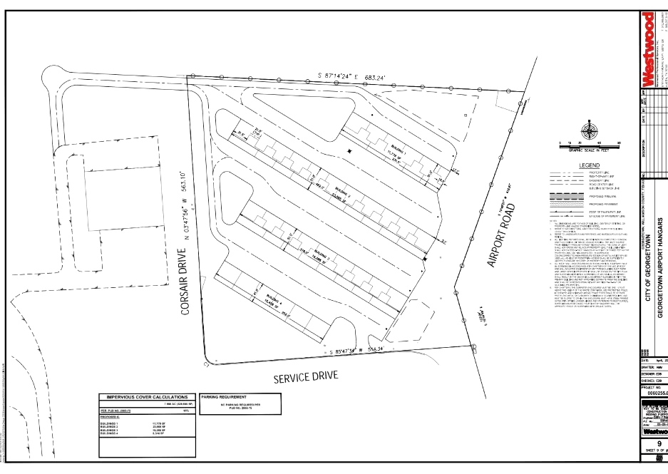 Open the approved site drawing (new tab)
Location references: HDG’s supplied approved site drawing; City of Georgetown’s airport site maps and airport master plan. The City’s historical maps are used for geographic context, not current construction or availability.
Why we’re building
Lisa and Dusty founded HDG out of a need for more hangar space. The Georgetown project continues their work developing aviation hangars and airport infrastructure in Texas.
Let’s talk about your aircraft
- Your aircraft and space requirements
- Bay pricing and availability
- Row preferences
- Construction and move-in timing
- Your questions about the site
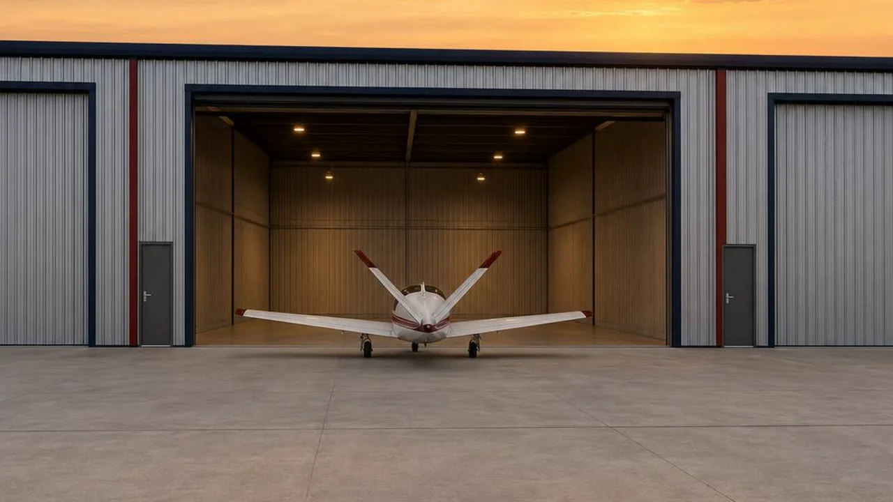
Talk with us about bay sizes, the fit for your aircraft, pricing, availability and timing. We’ll walk you through the plan and what comes next.